“A dataset of building footprints to support social good applications”
The Building Datasets for QGIS-TMVARI project were downloaded building polygons from Google Open Buildings, which significantly streamlined our workflow. This approach has saved considerable time compared to manually digitizing each building from satellite imagery.
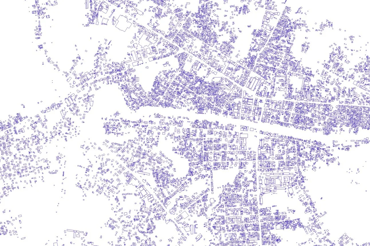
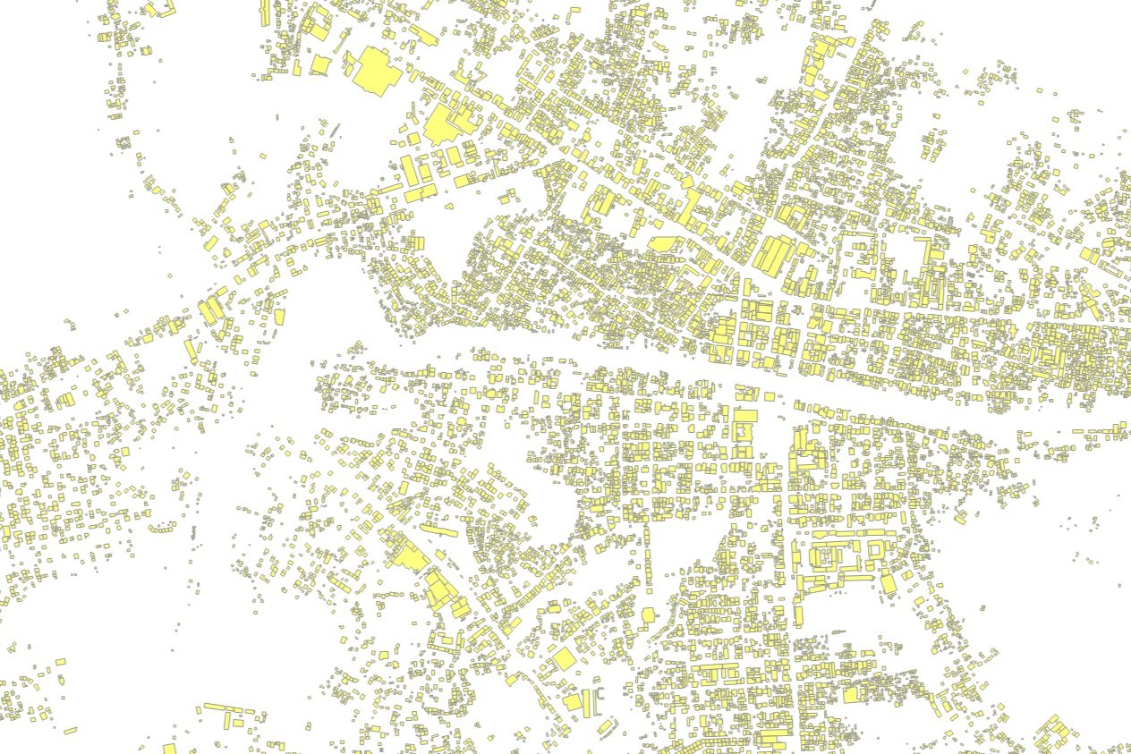
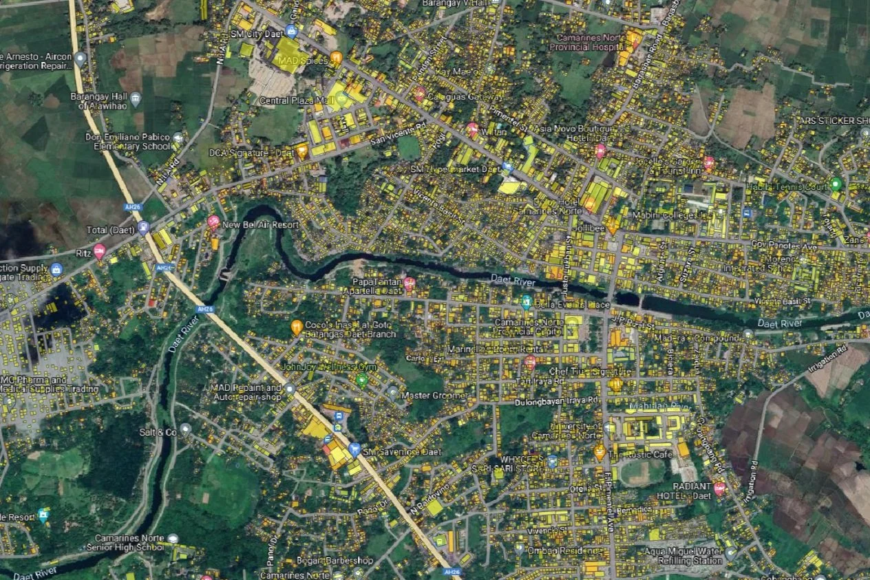
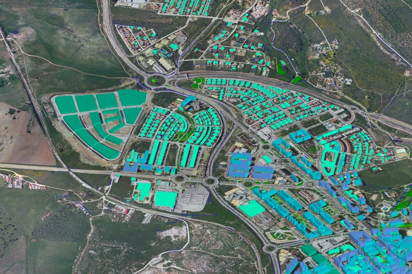
Google Open Buildings provides detailed building polygon data, including precise outlines or "footprints" of buildings derived from high resolution satellite imagery.
Cleaning and processing it to ensure the consistency and accuracy entails only removing duplicates and correcting errors and ensuring it aligns correctly with our existing maps and datasets. This integration allows us to visualize and analyze the building data effectively.
These building footprints with the database structure of FAAS (Field Appraisal and Assessment Sheet) for Building has enhanced our project's overall utility. This automated process has drastically reduced the time and effort required, allowing us to focus on more critical aspects of our project and ensuring high data accuracy and reliability.