Classical Paper-based Tax Mapping: Redefined with Drone Photogrammetry
Tax Mapping Unmanned Aerial Vehicle (UAV) Drone Photogrammetry GovGeoTechSolutions
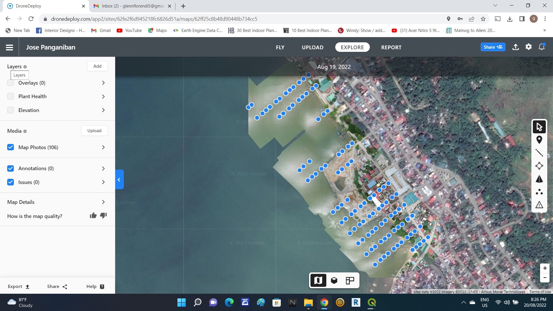
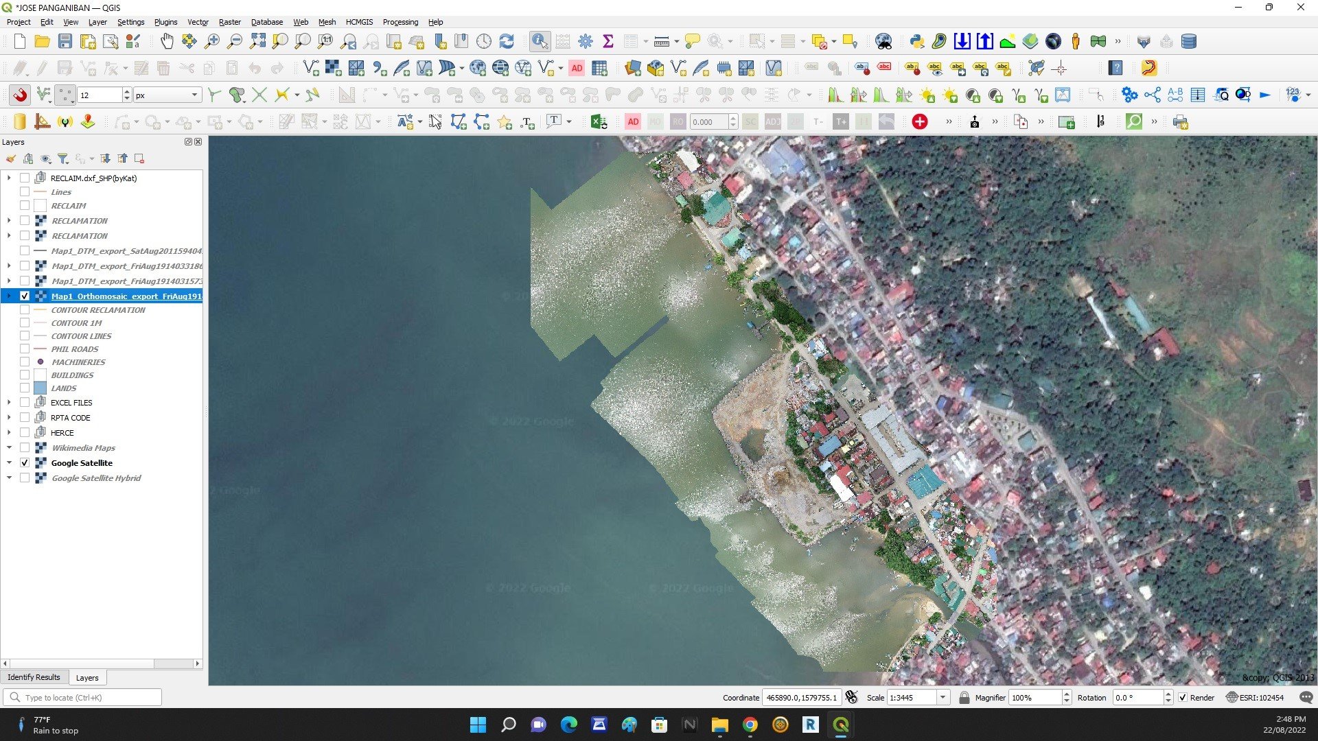
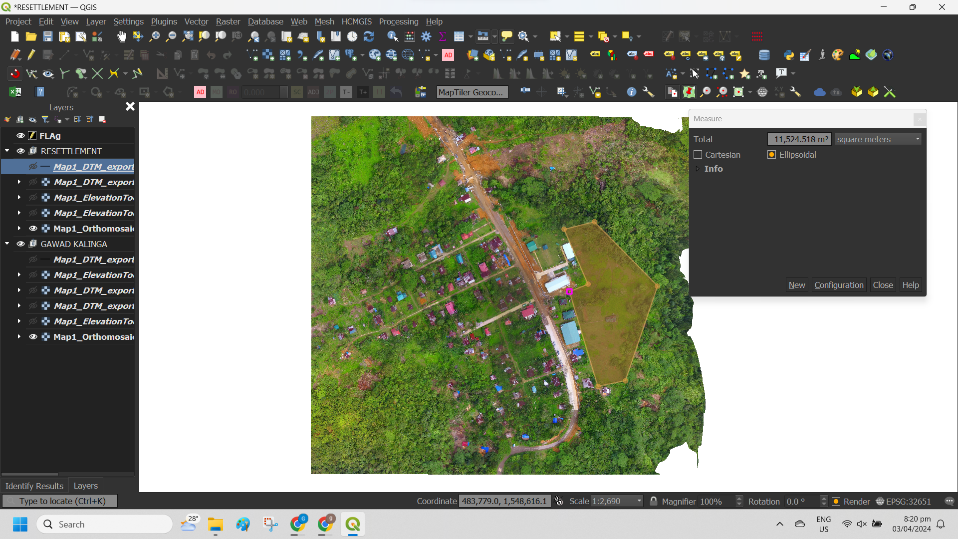
Using QGIS in Tax Mapping by Drone Photogrammetry offers a streamlined and efficient approach compared to traditional paper-based mapping methods. QGIS allows users to process drone-captured imagery and generate accurate maps and 3D models with ease. Through QGIS, users can perform various tasks such as image georeferencing, orthorectification, point cloud processing, and digital terrain modeling, all within a single software environment.
Additionally, QGIS provides tools for spatial analysis, data visualization, and map production, enabling users to create detailed and informative maps quickly.
Compared to paper-based mapping, which relies on manual drafting and surveying techniques, QGIS and drone photogrammetry offers higher accuracy, faster data collection, and cost-effectiveness, making it a preferred choice for modern mapping applications.
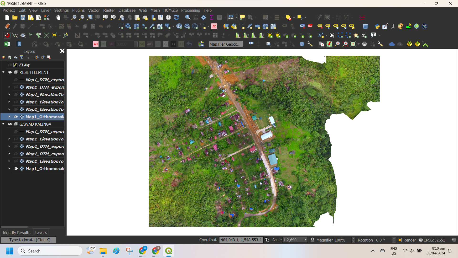
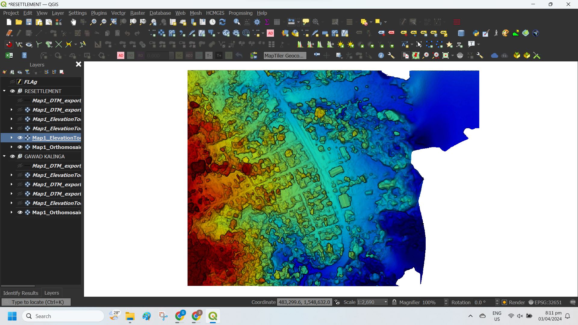


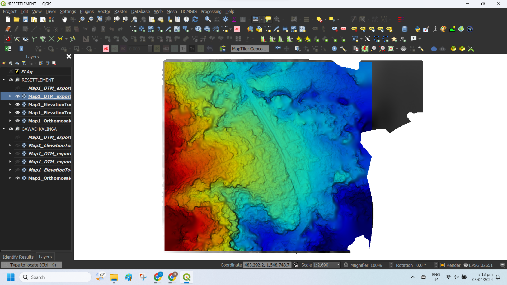
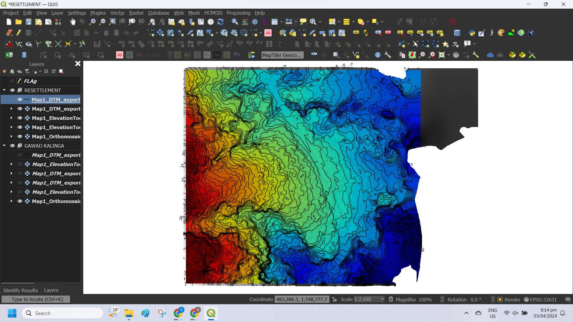


Benefits of UAV Mapping Drone Photogrammetry GovGeoTechSolutions
Map Inaccessible Areas
In aerial mapping, drone can take off and fly almost anywhere. You are no longer limited by unreachable areas, unsafe steep slopes or harsh terrain unsuitable for traditional measuring tools. You do not need to close down highways or train tracks. In fact, you can capture data during operation without an organizational overhead.
Land Surveying and Cartography
Drone survey generate high-resolution orthomosaic and detailed 3D models of areas where low-quality, outdated or even no data, are available. They thus enable high-accuracy cadastral maps to be produced quickly and easily, even in complex or difficult to access environments. Surveyors can also extract features from the images, such as signs, curbs, road markers, fire hydrants and drains.
Reduce Field Time and Survey Costs
Capturing topographic data with a drone is up to five times faster than with land-based methods and requires less manpower. With PPK (Post Processing Kinematics) geo-tagging, you also save time, as placing numerous GCPs is no longer necessary. You ultimately deliver your survey results faster and at a lower cost.
Provide Accurate and Exhaustive Data
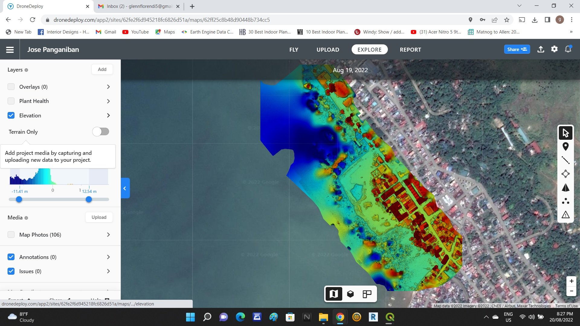
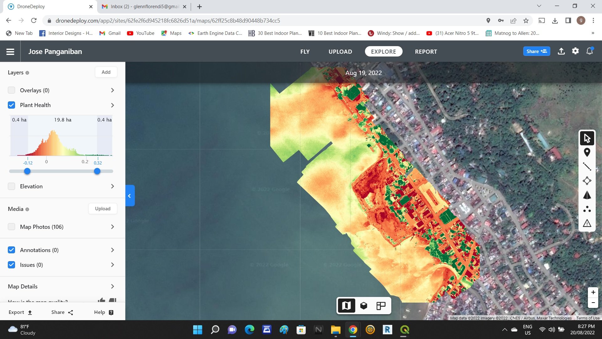
Total stations only measure individual points. One drone flight produces thousands of measurements, which can be represented in different formats (orthomosaic, point cloud, DTM, DSM, contour lines, etc). Each pixel of the produced map or point of the 3D model contains 3D geo-data.
Land Management and Development
Aerial images taken by drones greatly accelerate and simplify topographic surveys for land management and planning. This holds true for site scouting, allotment planning and design, as well as final construction of roads, buildings and utilities.
Precise Measurements
High resolution orthophotos enable surveyors to perform highly-accurate distance and surface measurements.


